
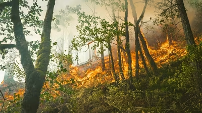
Update (8:57pm) : The Bryson Fire has grown to about 40 acres, according to the helicopter coordinator (HLCO). The coordinator said the fire could reach Encinal Canyon Road in about 10 minutes. The fire is spreading, with new flames and spot fires appearing near its front.
Residents can check the fire map and evacuation updated here . Initial story : A fire named Bryson Fire has broken out in Malibu, Los Angeles County, California , as per Watch Duty. The fire is now 20 acres in size, and there is no containment so far. As per the New York Post , the Bryson Fire broke out around 4:40pm local time near Mulholland Highway and Encinal Canyon Road, close to Camp Kilpatrick, according to fire radio traffic.
The Bryson Fire is burning on Encinal Canyon Road, west of Mulholland Highway, in Malibu, according to Watch Duty.
