
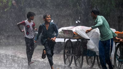
A brief spell of showers in Delhi on Monday helped push the quantum of showers this August past the weather department’s long-period average for the month, which still has three weeks to go, underscoring what has been an unusually wet spell for the Capital deep into the monsoon.
Key Factors
The Safdarjung station – considered Delhi’s representative weather gauge – clocked just 4mm of rain on Monday, enough to drive the month’s total to 234.5mm, past the India Meteorological Department’s (IMD) long-period average (LPA) of 233.1mm for the month.
Outlook
On August 6 and 7, the maximum temperature stood at 27.6 °C and 27.5 °C, respectively, over 6 degrees below the normal of 34.2°C. June saw a mean maximum temperature of 39.2°C, only 0.2°C above the climatological mean, while July’s mean maximum temperature was recorded at 35.5°C, only 0.1°C below the climatological mean. The average maximum temperature for August so far is 33.1°C, while the climatological mean is 34.2°C. It has been a wetter-than-normal monsoon for Delhi from June 1 to August 10, with 534.3mm of showers.
The consistent rainy days have helped keep temperatures in the city in check this month, with day temperatures hovering near the normal range, and even falling below it. The average maximum temperatures in June, July, and August so far have remained close to the IMD’s monthly LPAs.
